Fortville Alley Site Plan
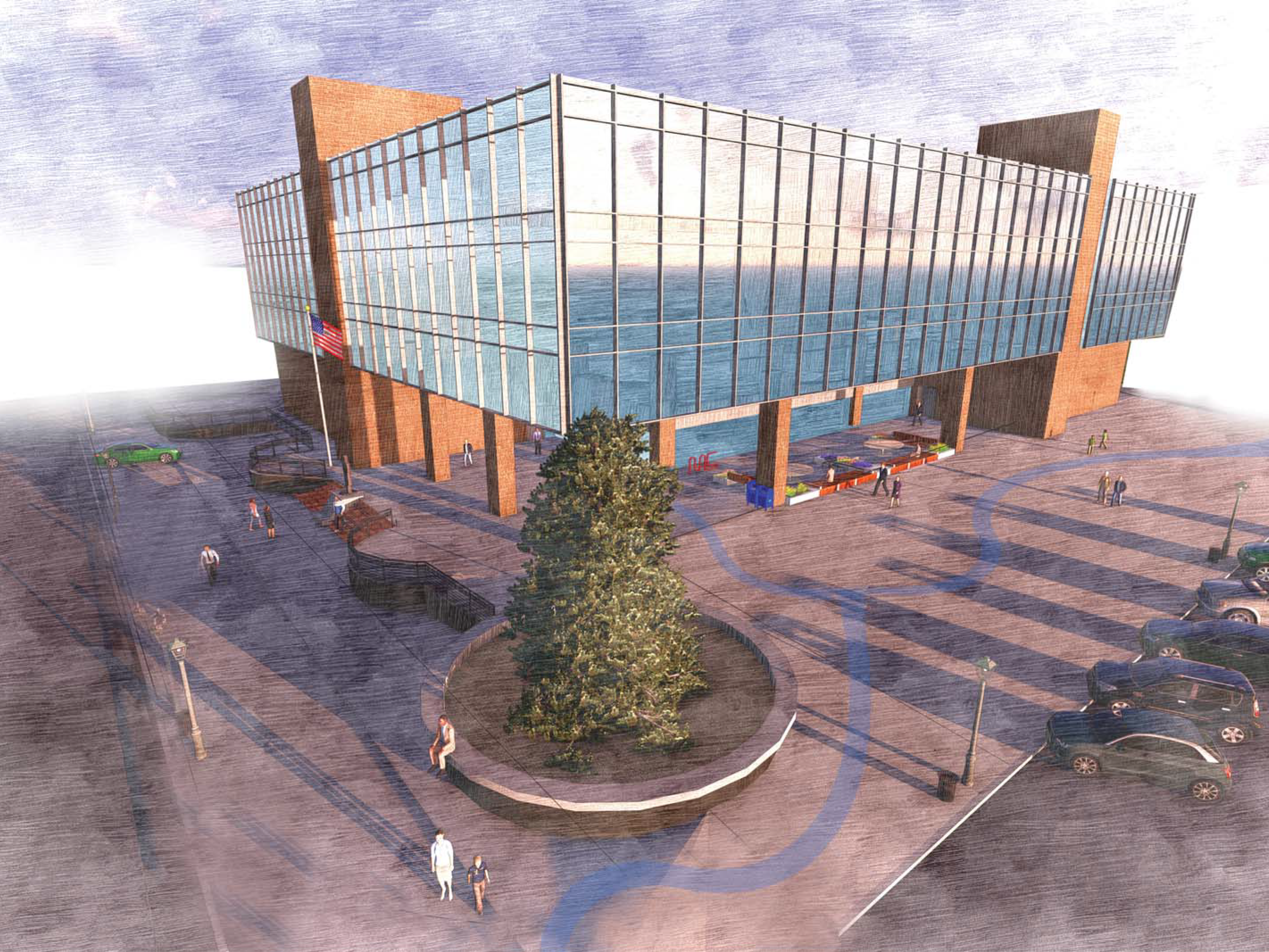
This site plan was created to help the Town of Fortville visualize what could be done with an alley space between two buildings in downtown. The challenge was providing an interesting space for pedestrians as well as maintaining vehicle access through the alley. The curvilinear space in the center of the alley is desinged as a drainge channel that is representative of a meandering stream which gives the site an interesting and dynamic feeling. An important consideration was to add little seating pockets that are accompanied by raised planting beds. These provide a bit of privacy to the seating spaces and add increase the naturalistic sense of place to the site,
Fortville Alley Rendered Site Plan
Mt. Vernon Trail Historic Boundary Proposal
The Mt. Vernon trail in Fortville on Maple St. and Saundra Drive (approx. Location) reached a pinchpoint due to a historic property boundary. The 10' wide asphalt trail wouldn't fit between the road and historic boundary, so the trail was narrowed to 8' for the span of the historic residence. This trail design has been approved and is in the process of being built the way it is shown. This drawing helped the engineering team to understand the intent and helped the designer ensure that this constraint could be easily addressed.
Mt. Vernon Trailhead
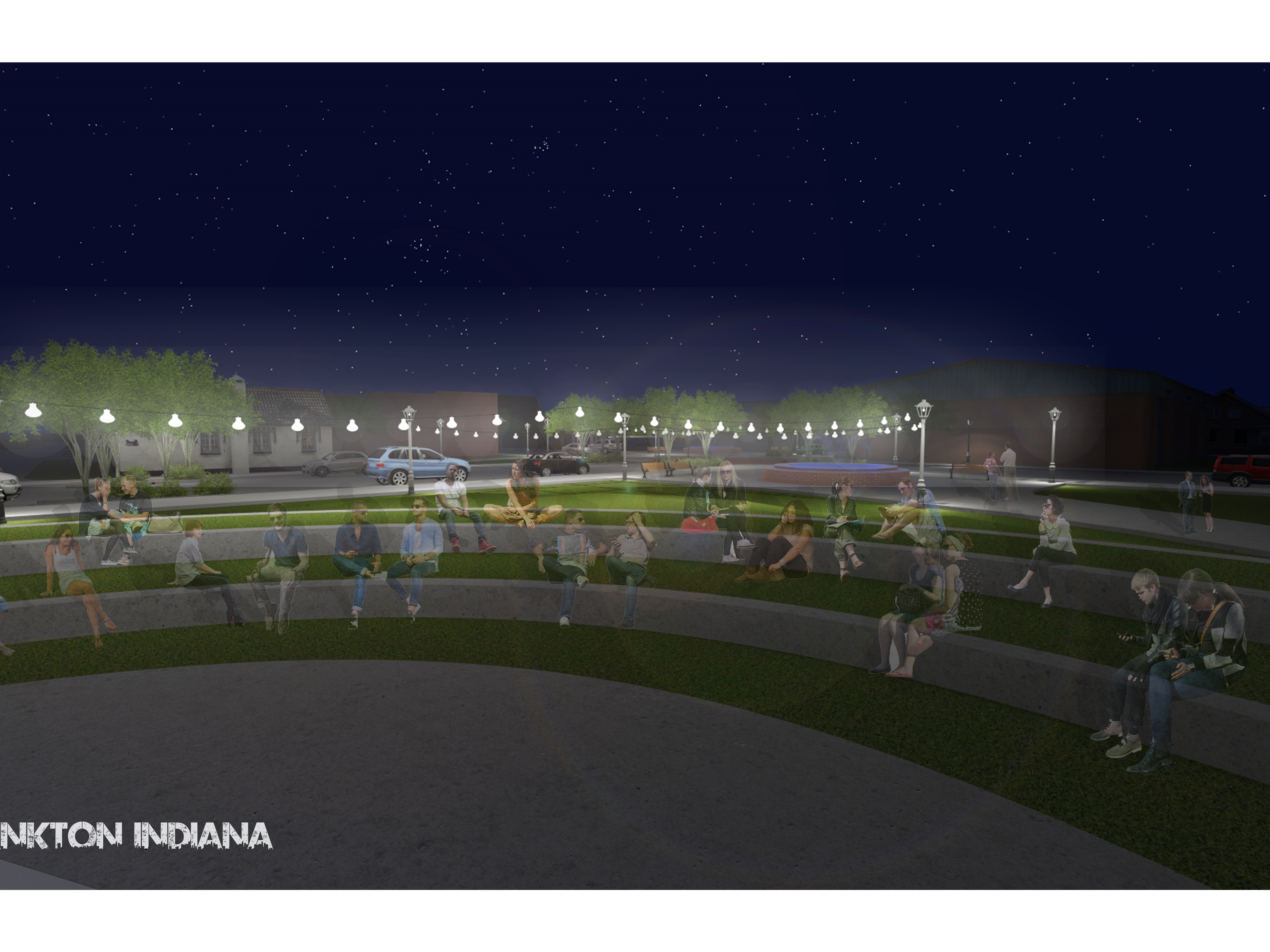
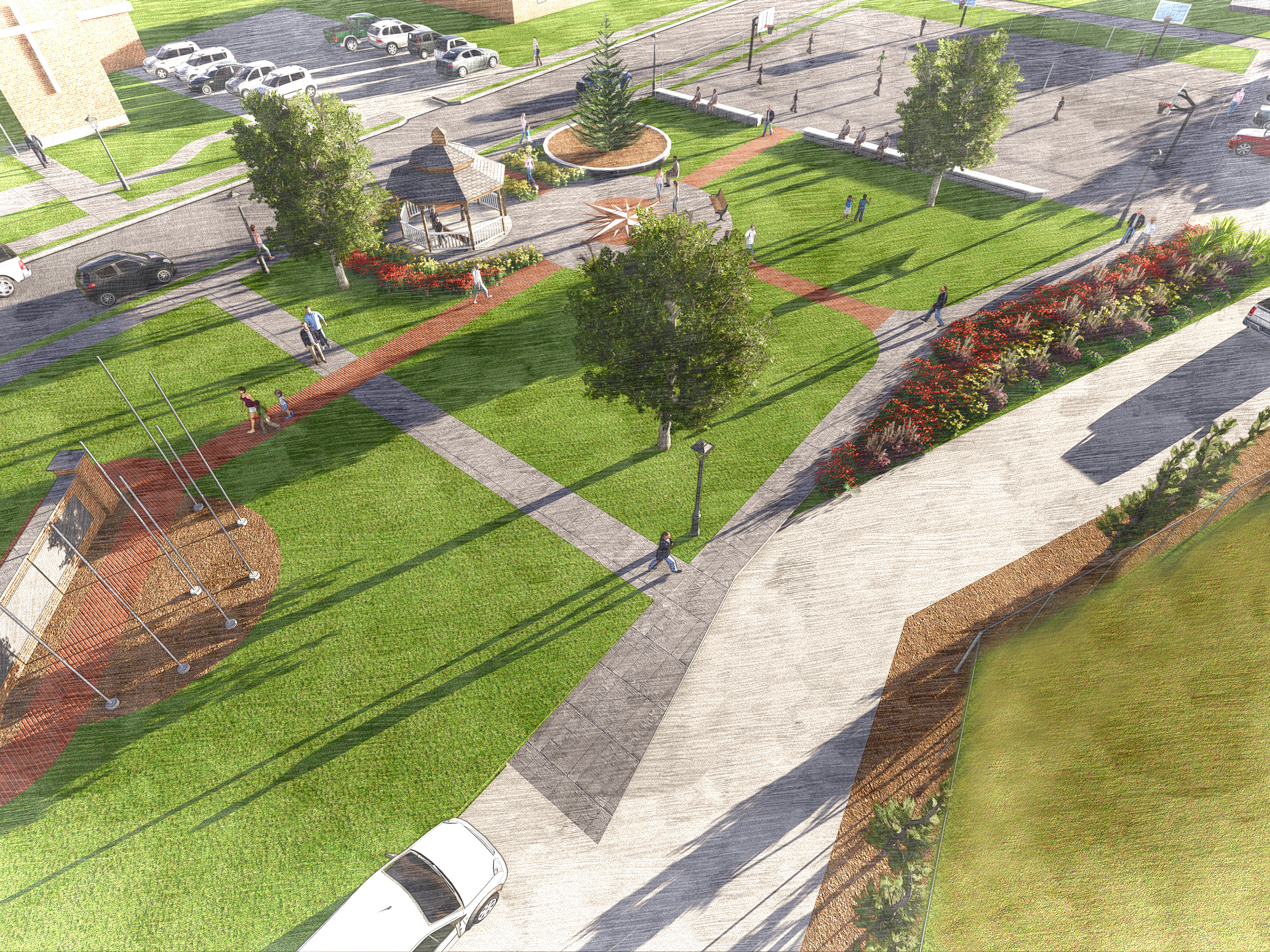
This aerial image overlay plan drawing was used to help Fortville visualize options for their underutilized park space at the terminus of their in-progress main St. redesign. This design called for the park to be turned into open space with a stage for outdoor music venues and movie nights. The project ties into the design that is already being executed as well as the existing site character.


